

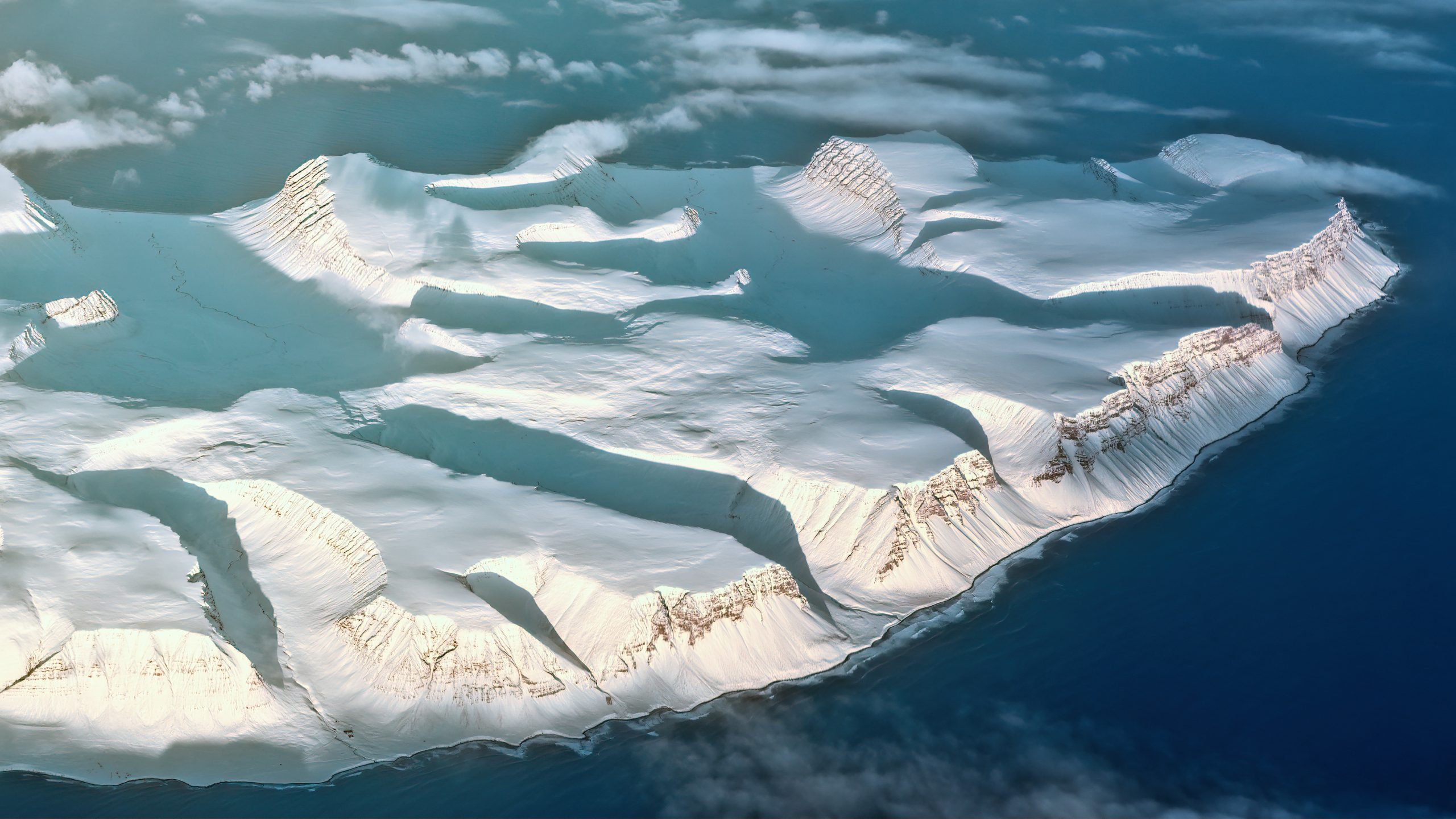
In a major advancement for climate science and Earth system research, scientists have produced the most detailed map yet of Antarctica’s subglacial terrain, revealing a diverse network of previously unknown mountains, valleys, plains, and over 30,000 hills beneath the ice. This discovery is expected to significantly improve models of ice sheet behavior and sea-level rise forecasting.
Peering Beneath the Ice for the First Time
For decades, Antarctica’s vast ice sheet has concealed the rugged landscape underneath — terrain that plays a critical role in how ice flows toward the ocean. Using advanced satellite imagery and a novel “ice-flow perturbation” analysis technique, researchers were able to peer through the thick ice cap and fully map the bedrock for the first time. The effort fills in gaps that previous radar and airborne methods could not resolve.
The new map shows that Antarctica — long viewed as a relatively uniform ice dome — harbors complex geological features similar to landscapes found in regions like Scotland or Canada. These hidden ridges and basins influence how glaciers accelerate or slow, making them critical for predicting future ice loss and the corresponding impact on global sea levels.
Sharper Climate Models and Policy Impact
Accurate knowledge of what lies beneath the ice is crucial as scientists refine projections of sea-level rise under climate change. Ice dynamics depend on bedrock slope, roughness, and subglacial water flow, all of which affect how easily ice streams slide toward the ocean. The detailed terrain data will be incorporated into next-generation ice-sheet models, helping policymakers better assess long-term risk for coastal regions worldwide.
Climate scientists note that Antarctica contains enough ice to raise global sea levels by more than 60 meters if fully melted — far more than any other region. While such extreme loss is not expected in this century, improved models will help clarify which areas are most vulnerable and how quickly changes could unfold.
Collaborative Research and Future Exploration
The comprehensive map is the result of collaboration among glaciologists, geophysicists, and remote-sensing experts using satellite data and computational tools that push the boundaries of Earth observation. Scientists say this marks a new era in cryospheric research, where global climate monitoring benefits from high-resolution geological data.
As climate change accelerates, researchers emphasize the need to continue expanding subglacial mapping efforts and integrate these insights with measurements of ice thickness, ocean temperature, and atmospheric conditions. This holistic approach will boost confidence in forecasts that guide adaptation strategies for communities across the globe.
